Mt Stapylton Loop
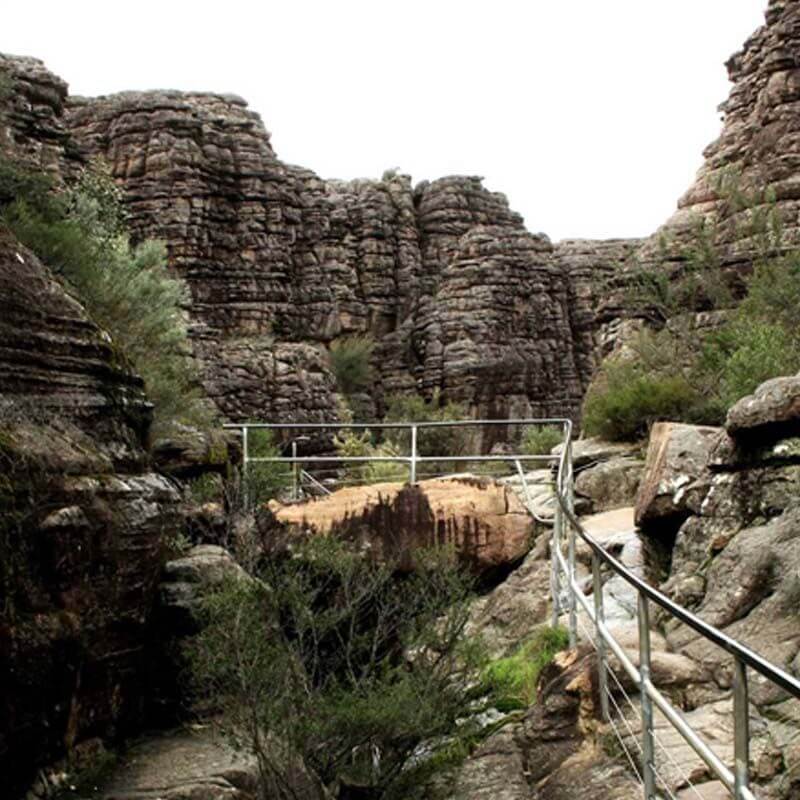
This walk, suitable for fit and energetic walkers, can involve water crossings, slippery track surfaces, rock hopping and rock scrambling.
MT STAPYLTON LOOP...a walk for the fit and adventurous
Distance: 12.2 km circuit Time: 5 - 5½ hours
Elevation Change: 230 metres Grade: hard
Start: Stapylton Campground
This walk, suitable for fit and energetic walkers, can involve water crossings, slippery track surfaces, rock hopping and rock scrambling.
A sign posted walking track leads through dense scrub and crosses Pohlner Road, continuing to a track intersection. Turn right and begin the steady climb up the timbered slopes. Signs and track markers guide you over exposed rocky outcrops and through forested gullies. The final steep climb involves some rock hopping and scrambling over rock ramps.
The summit views are spectacular, taking in much of the park and surrounding plains. Return to the last intersection and follow the sign toward Mt Zero Picnic Area. The track follows water-etched rock terraces flanked by low vegetation, and leads into a natural amphitheatre. Continue to a sign posted track intersection which will direct you back to Stapylton Campground.


